Cover
Ecuador's National Parks: Four Worlds in One Small Country
Beyond the famous Galápagos Islands, Ecuador protects an extraordinary collection of landscapes: misty Andean lakes, active volcanoes, tropical dry forests and Amazonian rainforest. These parks reveal a country whose natural diversity is matched by the challenges of protecting it.
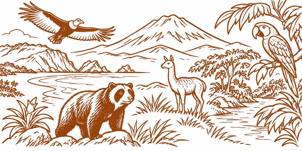
Beyond the Galápagos
Ecuador is famous for the Galápagos Islands, but some of its most remarkable natural landscapes are hidden in plain sight on the mainland. Above Cuenca, hundreds of lakes lie scattered across the cold Andean páramo. In Manabí, humpback whales gather offshore while dry forests cover the coastal hills. Farther east, active volcanoes rise above cloud forests, and Amazonian rivers wind through some of the most biologically diverse habitats on Earth.
These landscapes are part of Ecuador's network of 14 national parks, which stretches from the Pacific islands to the Amazon basin. While Galápagos attracts international attention, the mainland parks reveal another side of the country. The parks featured here offer a journey through eight distinctive protected landscapes, including places that remain unfamiliar to many visitors and residents.
Some have established visitor facilities; others are remote wilderness areas where scientific exploration continues. Together, they protect wildlife, cultural heritage and ecosystems important to communities far beyond their boundaries.
Machalilla: Where Forest Meets the Pacific
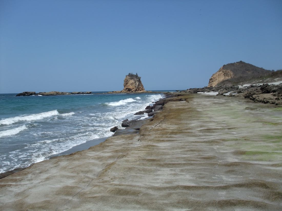
On Manabí's coast, Machalilla National Park protects approximately 585 square kilometres of coastal and marine landscapes. Its hills are covered with tropical dry forest, where trees shed their leaves during the dry season, giving parts of the landscape an almost desert-like appearance.
The park includes Los Frailes, one of Ecuador's best-known natural beaches, and Isla de la Plata, where visitors can encounter seabirds, including blue-footed boobies. Between roughly June and September, humpback whales migrate through the waters off Manabí to breed and give birth, supporting a seasonal whale-watching industry centred on Puerto López.
Machalilla also preserves evidence of ancient coastal cultures. The Agua Blanca community maintains an archaeological museum and offers guided visits connecting the landscape with the region's Indigenous history. The park brings together wildlife, coastal scenery and thousands of years of human settlement.
Cajas: Hundreds of Lakes Above Cuenca
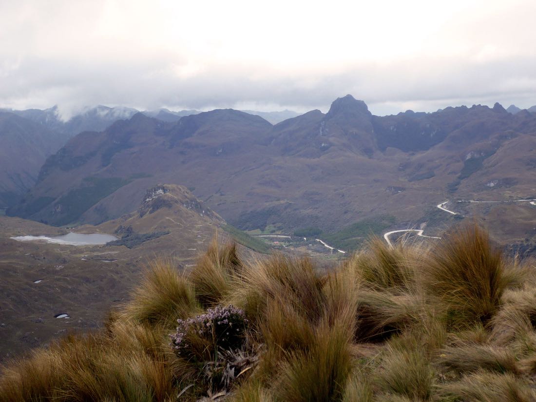
West of Cuenca, Cajas National Park covers approximately 294 square kilometres, yet contains hundreds of lakes scattered across rolling mountains and rocky valleys. The park protects high-altitude páramo, where cold winds, mist and rain shape an environment unlike anything on Ecuador's coast.
The lakes, wetlands and water-retaining soils help regulate the rivers supplying Cuenca and surrounding communities. Much of the city's drinking water originates in these mountain watersheds, making Cajas important to residents who may never visit the park.
Among its distinctive habitats are patches of Polylepis forest, whose twisted trees survive in sheltered mountain valleys. Visitors can walk among lakes and grasslands, although elevations above 3,000 metres and rapidly changing weather can make even short hikes demanding.
Cotopaxi and Antisana: Life Beneath the Volcanoes
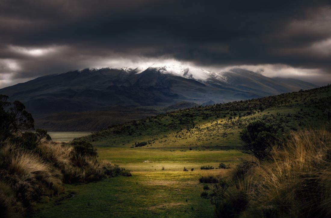
South of Quito, Cotopaxi rises 5,897 metres above sea level, dominating a national park covering approximately 323 square kilometres of open grasslands, wetlands and mountain scenery. Wild horses roam parts of the landscape, while Limpiopungo Lagoon offers views of the snow-covered volcano.
Cotopaxi is also active. Past eruptions have produced ashfall and destructive volcanic mudflows known as lahars, making monitoring and emergency planning important for nearby communities.
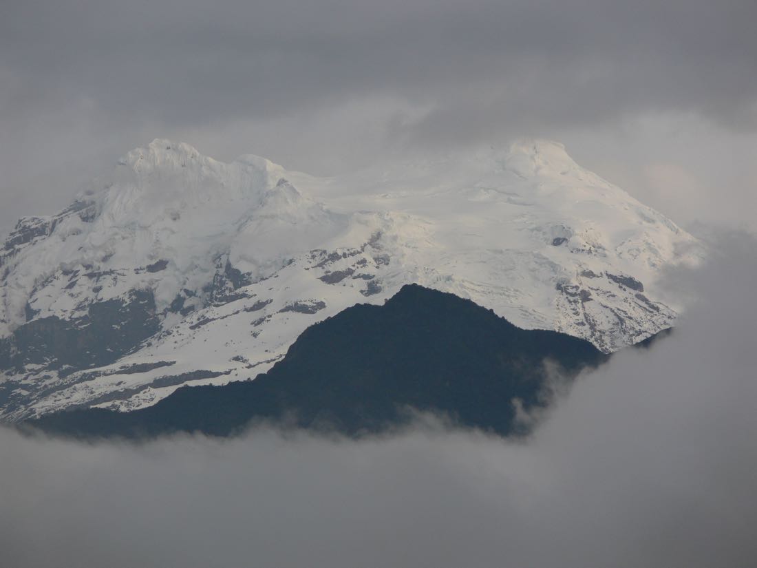
Antisana National Park, covering approximately 1,206 square kilometres, protects another remarkable volcanic landscape southeast of Quito. Its glaciers, wetlands and páramo provide habitat for Andean condors and other high-altitude wildlife. Water originating in the Antisana region contributes to Quito's drinking-water system through reservoirs and associated infrastructure.
These neighbouring mountain environments show two sides of Ecuador's volcanoes: dramatic natural hazards and landscapes that help sustain the country's capital.
Llanganates: The Mountains of Mystery
East of the central Andes lies one of Ecuador's least accessible national parks. Llanganates protects approximately 2,199 square kilometres of mist-covered mountains, wetlands, steep valleys and dense vegetation. Much of its interior is difficult to reach, and changing weather adds to the challenge.
The mountains are associated with the legend of Atahualpa's hidden treasure. According to tradition, a vast quantity of Inca gold was concealed in the Llanganates rather than surrendered to the Spanish conquerors. The legendary treasure has never been conclusively located.
The park's less mysterious riches are its extensive páramo and cloud forests, which shelter wildlife and remain comparatively little explored. Its difficult terrain has helped preserve large areas of habitat while making research and conservation work challenging.
Sangay: From Glaciers to Tropical Forest
Sangay National Park spans approximately 4,866 square kilometres across Ecuador's central and eastern Andes. Snow-covered mountains and active volcanoes rise above páramo and cloud forests that descend toward the Amazon basin.
The park includes Sangay and Tungurahua, volcanoes with histories of significant eruptions. Sangay's continuing activity has produced ash emissions affecting communities beyond the protected area.
Recognized as a UNESCO World Heritage Site, Sangay protects habitats for spectacled bears, mountain tapirs and Andean condors. Its dramatic changes in altitude allow very different ecosystems to exist within a single national park.
Much of the interior remains difficult to access, preserving extensive mountain forests and wildlife habitats.
Yasuní: The Amazon's Extraordinary Diversity
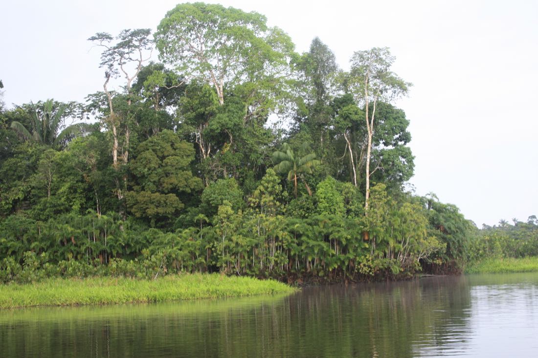
In eastern Ecuador, Yasuní National Park protects more than 10,000 square kilometres of Amazonian rainforest where rivers wind beneath a nearly continuous canopy of trees. Its remarkable biodiversity includes monkeys, colourful birds, amphibians, insects and thousands of plant species.
The region is home to Waorani communities and contains territories associated with the Tagaeri and Taromenane, Indigenous peoples living in voluntary isolation. Their territorial rights are central to debates over the park's protection.
Yasuní has also become a national symbol of the conflict between conservation and petroleum development. In an August 2023 referendum, Ecuadorian voters supported ending oil production in Block 43, known as ITT, within the park. Implementing that decision has involved disputes over deadlines, economic consequences and the dismantling of oil infrastructure.
The park protects extraordinary natural diversity while confronting questions about Indigenous rights, national revenue and the future of oil extraction in the Amazon.
Podocarpus: Where the Andes Meet the Amazon
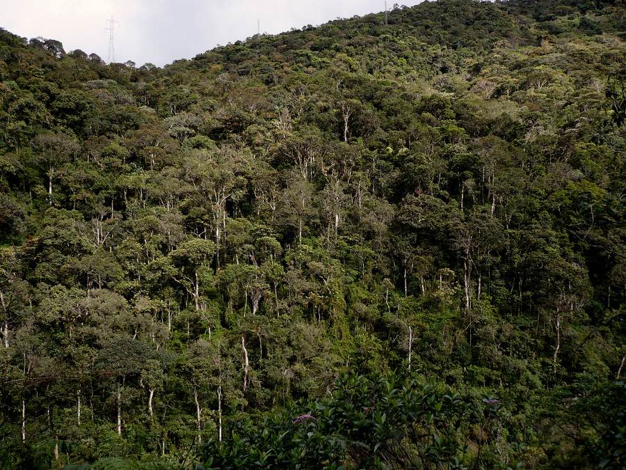
In southern Ecuador, Podocarpus National Park occupies the mountains between Loja and Zamora Chinchipe, where Andean landscapes meet the Amazonian foothills. Its forests are filled with mosses, orchids, ferns and remarkable birdlife, while higher elevations contain páramo grasslands and shrublands.
One of the park's most remarkable geographical features is its position across the continental watershed. Water originating on its western side enters the Catamayo-Chira river system and ultimately reaches the Pacific Ocean. Water flowing east joins the Zamora and Mayo river systems, eventually reaching the Amazon and the Atlantic Ocean. The park therefore protects headwaters connected to two oceans, as well as water supplies important to communities in Loja and Zamora Chinchipe.
Podocarpus takes its name from a genus of native conifer trees found in the region. Its varied elevations and habitats have made it particularly important for biodiversity research.
On November 11, Ecuador's Ministry of Environment and Energy announced the park's expansion by 15,108 hectares, bringing its total area to approximately 1,536 square kilometres. The newly protected territories include Abra de Zamora, where 14 amphibian species new to science have been recorded, and the Numbala River valley, which contains important remnants of native Podocarpus forest. Source: Ministry of Environment and Energy.
The park also faces threats from illegal gold mining, which has damaged protected forests and prompted enforcement operations against unauthorized tunnels, camps and processing facilities. The expansion provides additional legal protection to important habitats, while the mining activity demonstrates the difficulties of enforcing conservation rules in remote mountain terrain.
More Than Beautiful Places
From the whale-filled waters of Machalilla to the remote forests of Podocarpus, Ecuador's national parks reveal a country of extraordinary contrasts. Some are accessible by paved roads and marked trails; others remain difficult to explore. Their value extends beyond wildlife and scenery to the drinking water, cultural heritage and natural resources on which communities depend.
The Galápagos may have introduced Ecuador's natural wonders to the world. Its mainland national parks offer many more reasons to discover the country—and to understand the importance of protecting its remarkable landscapes.